If you are searching for a complete Imaginary Island project that integrates Montessori geography, hands‑on map making, biomes, ocean currents, latitude and longitude, types of maps, forms of government, and social studies – all in one engaging, print‑and‑teach resource – then you have come to the right place. Right now, on my kitchen table, three children (lower and upper elementary) are designing their own islands using the Imaginary Island Study, and I am here to tell you how it is bringing geography to life in our home or classroom.
We are in the middle of the Imaginary Island Study, and honestly? It is one of the most exciting things we have ever done together.
How We Started
A few weeks ago, I sat down with my children and said, “Let’s build an island.”
Not a real one, of course. An imaginary one. A place they could design from scratch – naming mountains, carving rivers, deciding whether their island sits near the equator or close to the poles.
Their eyes lit up.
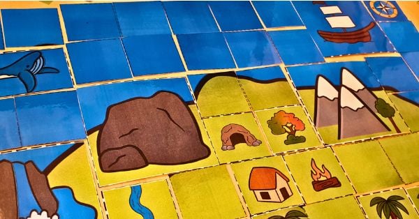
My youngest grabbed a pencil and started drawing a coastline shaped like a butterfly. My oldest asked if he could add a volcano. My middle child wanted a long, sandy peninsula where seabirds could nest.
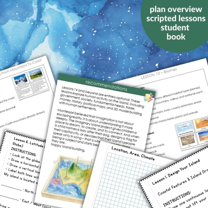
I was excited too. But I knew from past attempts that this project has a lot of moving parts. Coastal features. Inland features. Latitude and longitude. Ocean currents. Climate. Biomes. Plants. Animals. Maps. Then salt dough. Then government, trade, and history.
I wanted a clear path – not because I love rigid plans, but because I wanted to feel present with my children instead of buried in a mental checklist.
So I created a script for myself. And then I turned it into the Imaginary Island Study.
What Our Week Looks Like Right Now
Every day, we spend about 30 to 45 minutes on the study. The rhythm is simple and gentle.
First, we revisit an idea – or introduce a new one. Today, we are exploring climate zones. We pull out the 5‑part cards, match pictures to definitions, and the “Who Am I?” riddles. Sometimes we watch a short video.
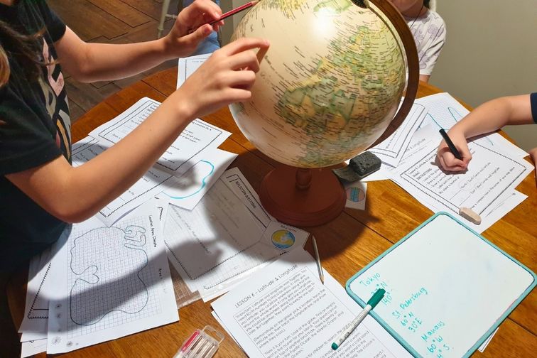
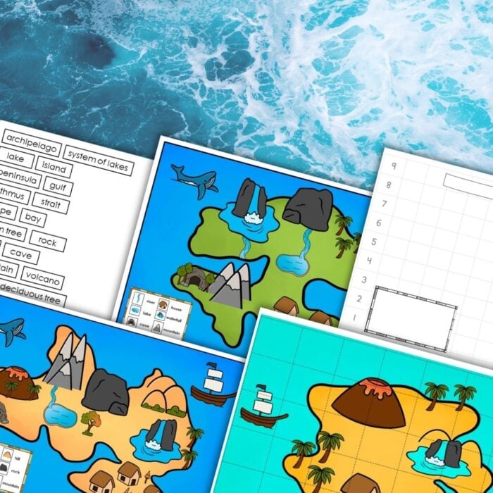
Second, they do a hands‑on activity. Task cards or a research worksheet. Yesterday, they calculated the area of their islands using graph paper. The day before that, they drew contour lines for their mountain range. They were completely absorbed.
Then they apply the new knowledge to their island. This is the best part. My daughter opened her My Imaginary Island Book and added a warm ocean current flowing past her heart / 6-7 shaped peninsula. My son decided to name his volcano after one of the Pokémon characters.
Their islands are growing week by week. They are becoming real places – not just drawings on paper.
What I Am Noticing
The children are excited to return to their islands every day. My youngest asked if she could write a story about the people who live in Doggy Cove. My oldest wants to design a currency – small coins shaped like fish.
And me? I feel calm.
I am not scrambling to remember what comes next. The script is there. I can focus on the children – answering their questions, celebrating their ideas, laughing at their jokes.
My recommendations for making the Imaginary Island Study a rich and memorable experience:
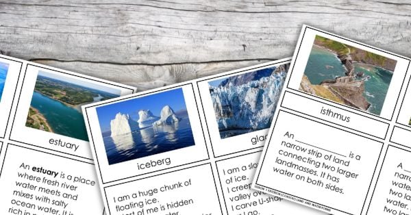
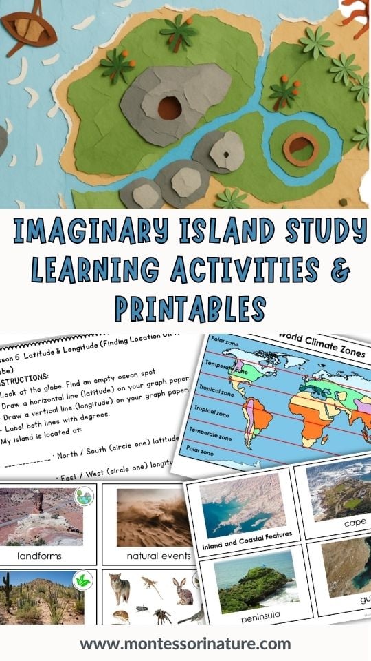
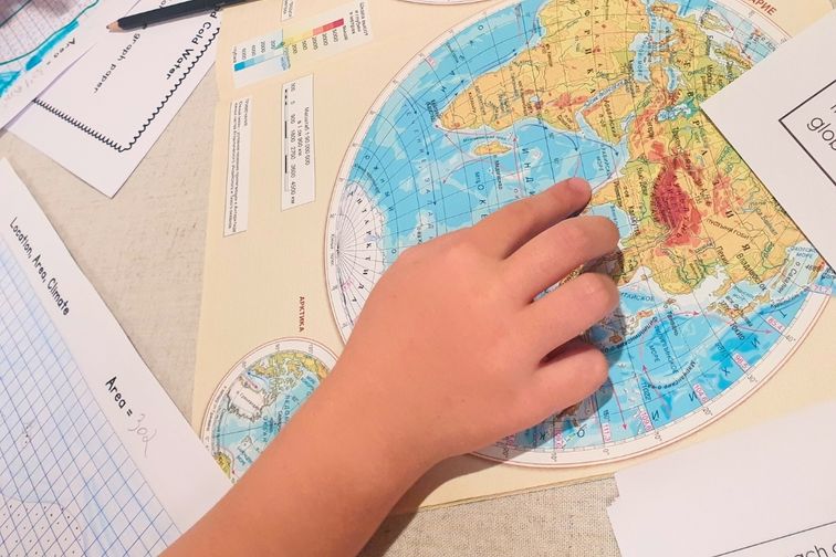
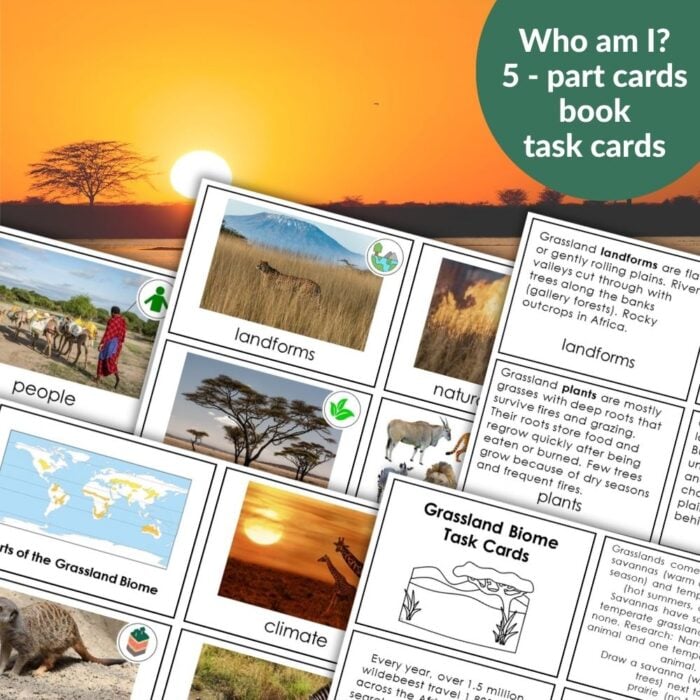
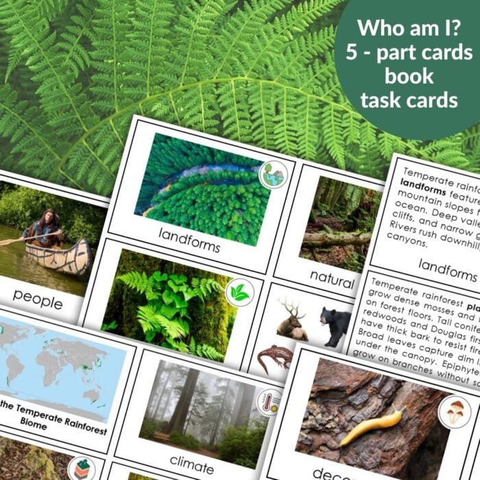
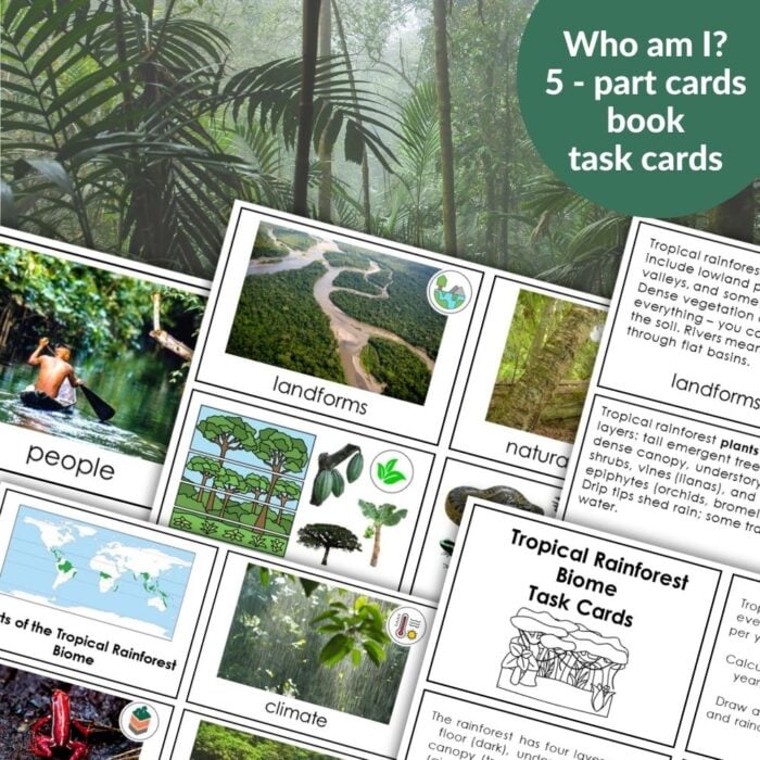
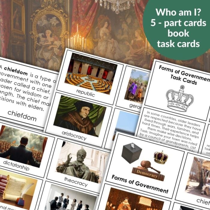
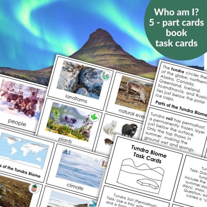
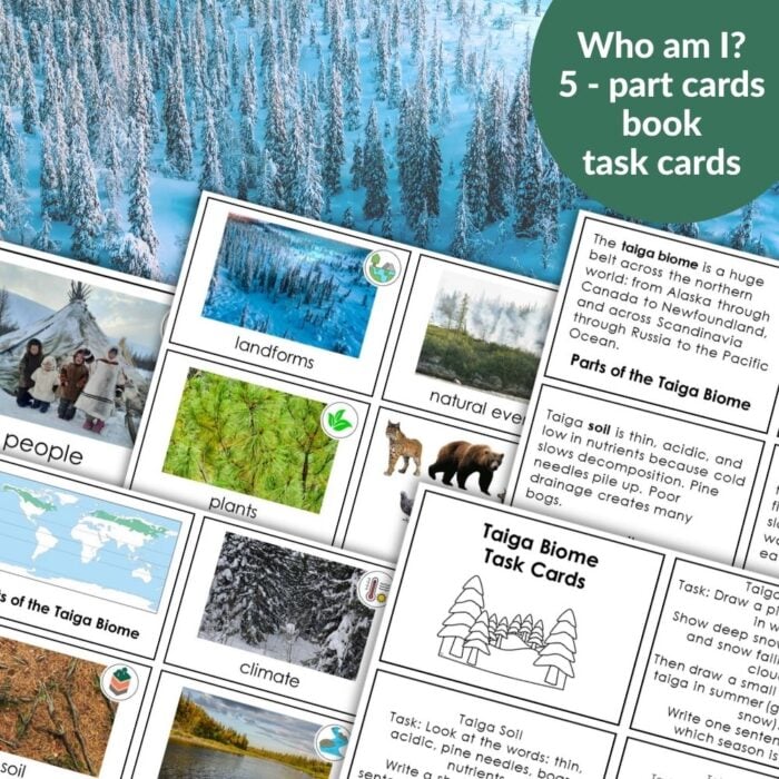
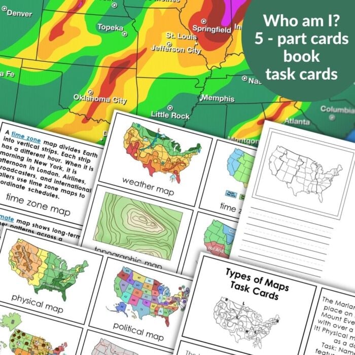
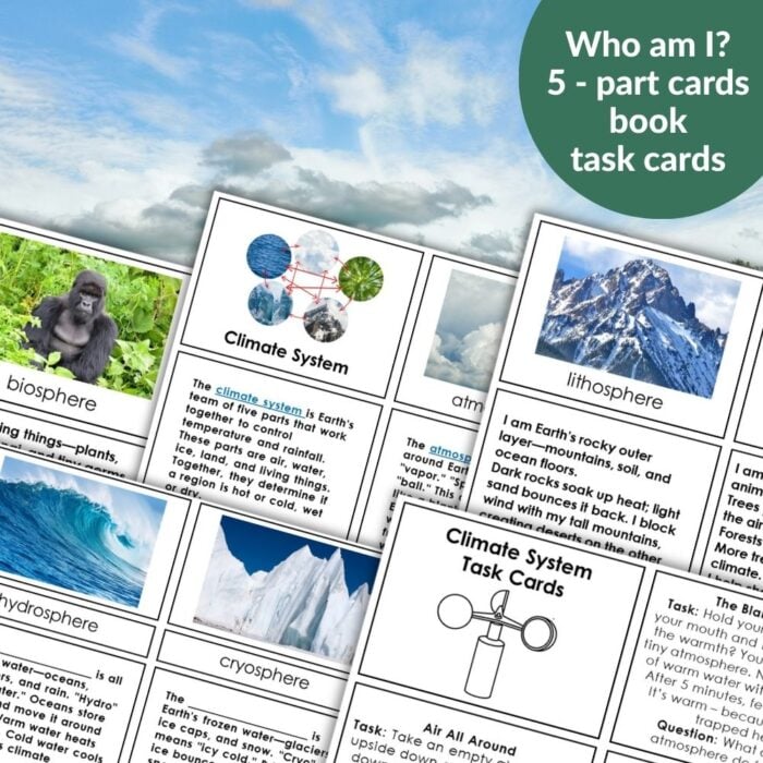
Keep a variety of geographical resources close at hand – world maps, atlases, and picture cards showing different biomes, climates, ocean currents, and types of maps. When children are learning about a new concept, being able to see it on a real map or globe makes all the difference.
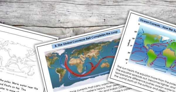
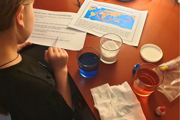
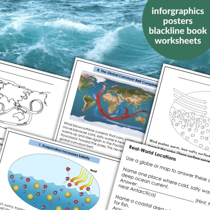
Include as many hands‑on science experiments as you can. Test water density with salt and fresh water to explore ocean currents. Spin a globe to demonstrate Earth’s rotation and the Coriolis effect. Build a simple greenhouse to investigate the climate. These small experiments bring abstract ideas to life.
Encourage children to present their findings after completing research worksheets. Having them explain their island’s biome, climate, or ocean currents to you or to each other deepens their understanding and builds confidence.
And above all – do not rush. Some days you may only complete half a lesson. That is perfectly fine. The islands will grow over time, and the children will retain so much more when they are allowed to move at their own pace.
When We Are Doing This
We are using the Imaginary Island Study as a mid-year project – one lesson each day, watching their islands grow over several weeks. But it would work beautifully at other times too:
As an end‑of‑year celebration after completing individual geography units
As a beginning‑of‑year review to revisit landforms, climate, and map skills
As an ongoing project spread over a term, picking lessons as they fit
Every family has their own rhythm. This study adapts to yours.
The Tools We Are Using
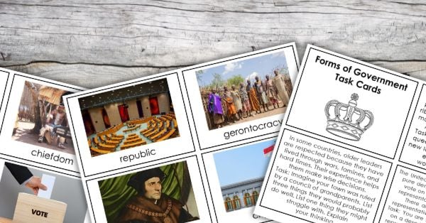
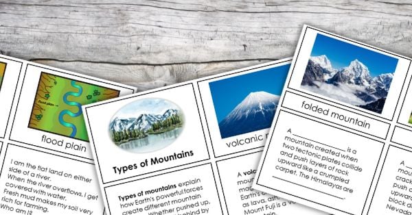
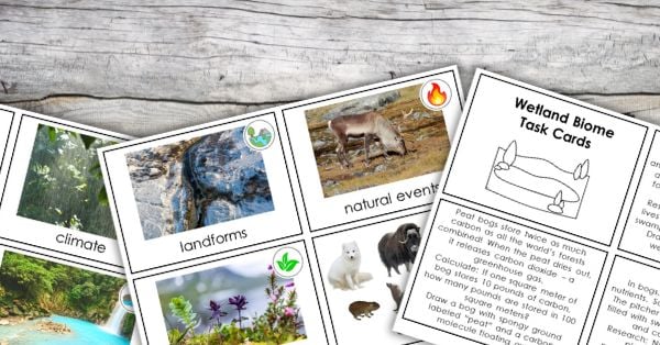
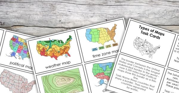
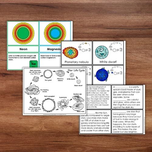
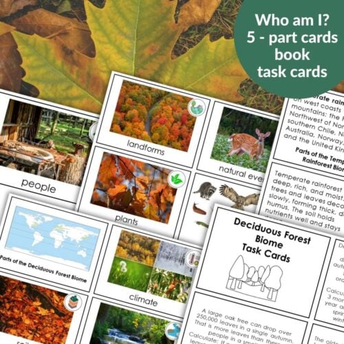
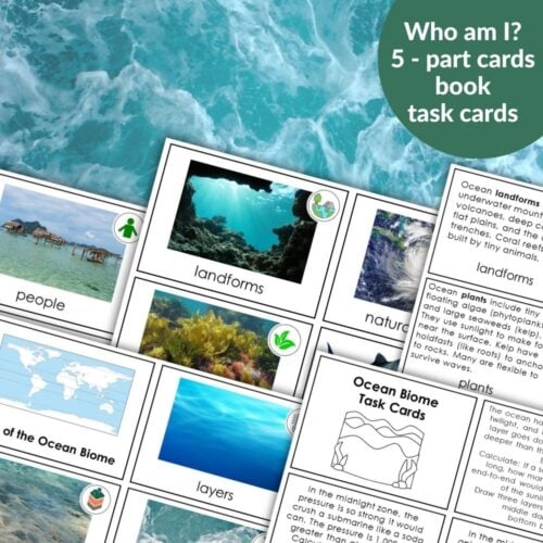
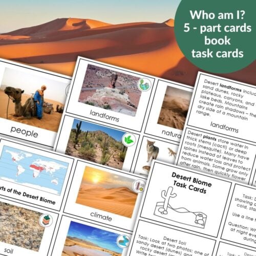
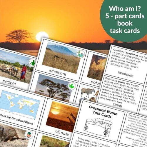
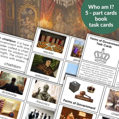
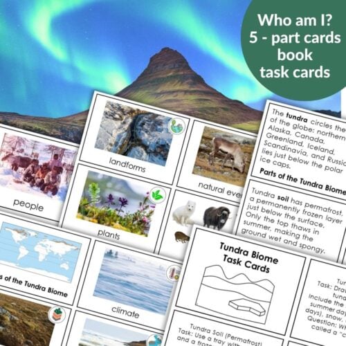
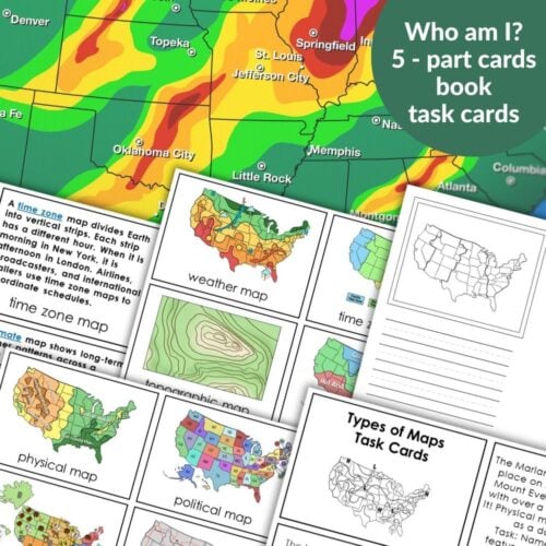
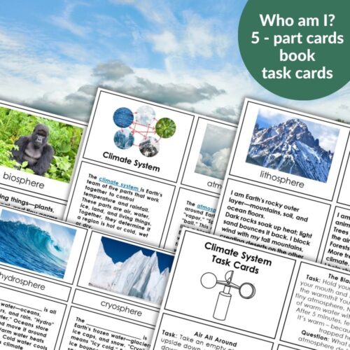
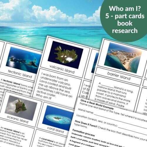
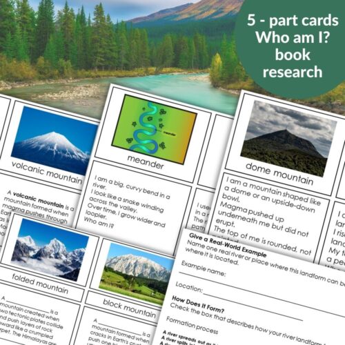
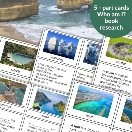
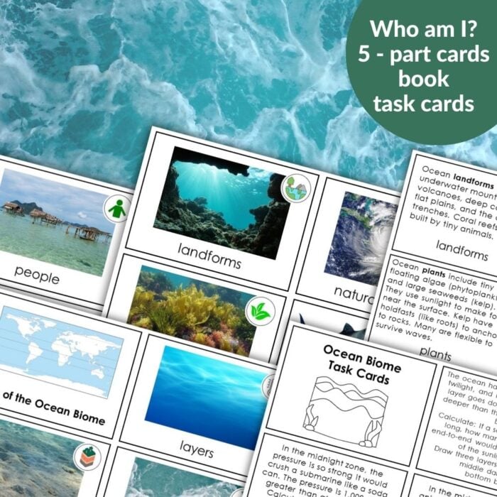
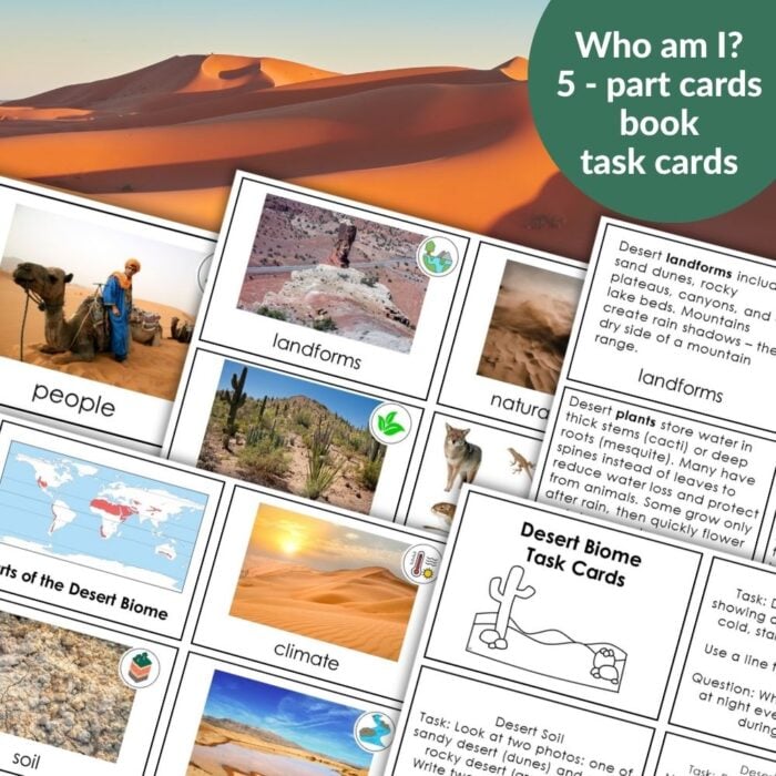
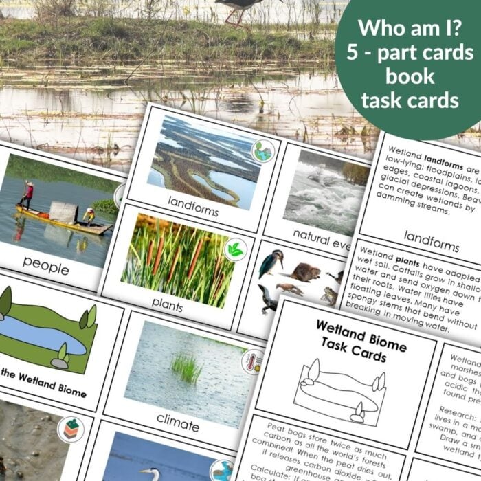
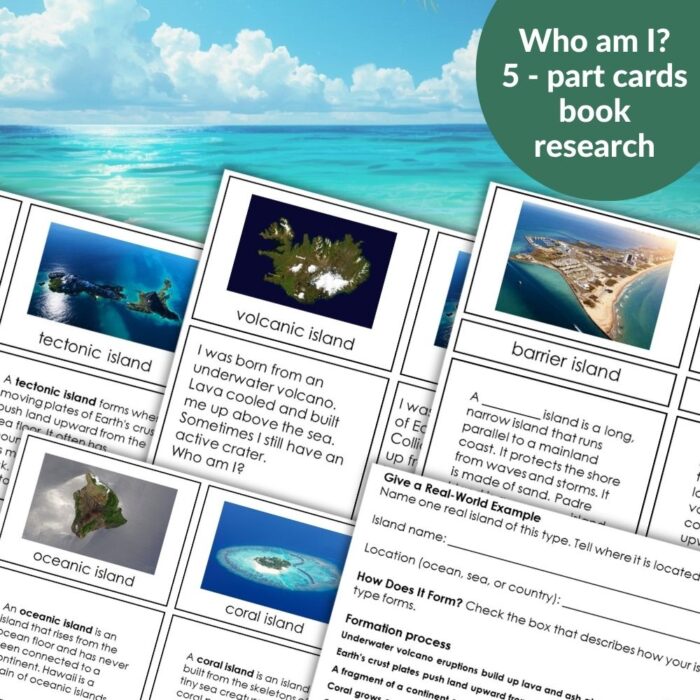
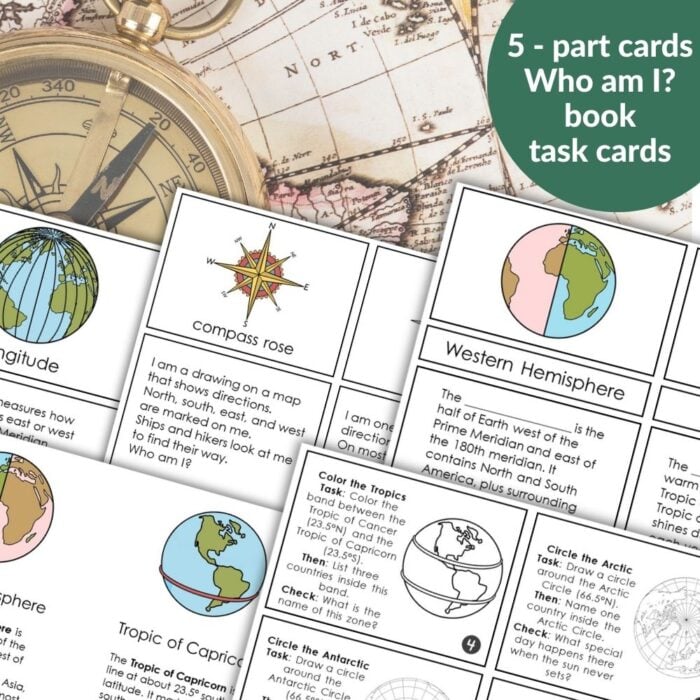
The Imaginary Island Study is the spine of our project. But we are also using the 5‑part card sets that build vocabulary and background knowledge. They live in small baskets on our shelf – land and water forms, types of islands, latitude and longitude, ocean currents, biomes, types of maps, forms of government.
The complete Imaginary Island Curriculum Bundle includes everything we are using. But the heart of it is the study itself – the 19 scripted lessons and the My Imaginary Island Book where the children record their work.
Why I Am So Glad We Are Doing This
I started this project because I wanted my children to love geography. Not memorize facts – love it. I wanted them to see how mountains, rivers, climate, plants, animals, and people all fit together.
And the study has made it possible. Not because it is rigid, but because it is clear. I know what to do each day. The children know what to expect. And we have space – space for questions, space for creativity, space for laughter.
Where You Can Find It
If you are thinking about starting an Imaginary Island project with your children or students, the Imaginary Island Study is waiting for you. It is a PDF download – print, cut, fold, staple, and go.
And if you want everything – the study plus all the 5‑part card sets – the Imaginary Island Curriculum Bundle has it all.
Right now, in our homeschool, three imaginary islands step by step are coming to life. They are not perfect. They are not finished. But they are enjoyed.
And every day, we add something new.


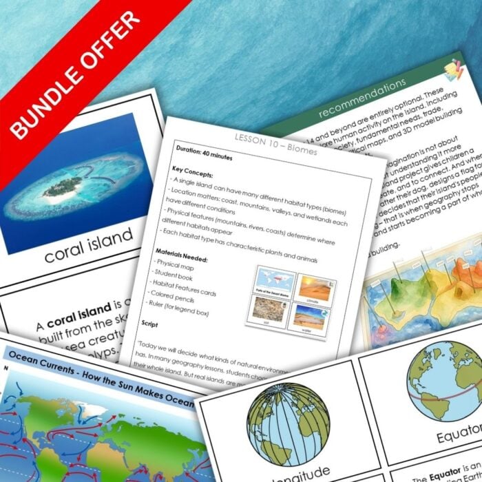


Imaginary Island Study Geography Bundle
This complete bundle includes resources you need for the Imaginary Island Study – from compass points and latitude to climate and biomes. All resources follow the same Montessori‑friendly format: 5‑part cards, books (easy to print and fold), task cards, research worksheets, and student booklets.
This bundle is also available on TPT
-
 Imaginary Island Study Plan Overview Scripted Lessons Worksheets$8.00
 -
Imaginary Island Study Geography BundlePrice range: $3.00 through $5.50
-
Latitude and Longitude: Geographic Coordinate System$7.00
About Anastasia | Anastasia is a certified early childhood teacher with over twenty years of experience in Montessori classrooms and homeschooling. As the founder of Montessori Nature, she creates evidence-based, nature-inspired educational printables. Discover more resources on her blog and Teachers Pay Teachers store.