
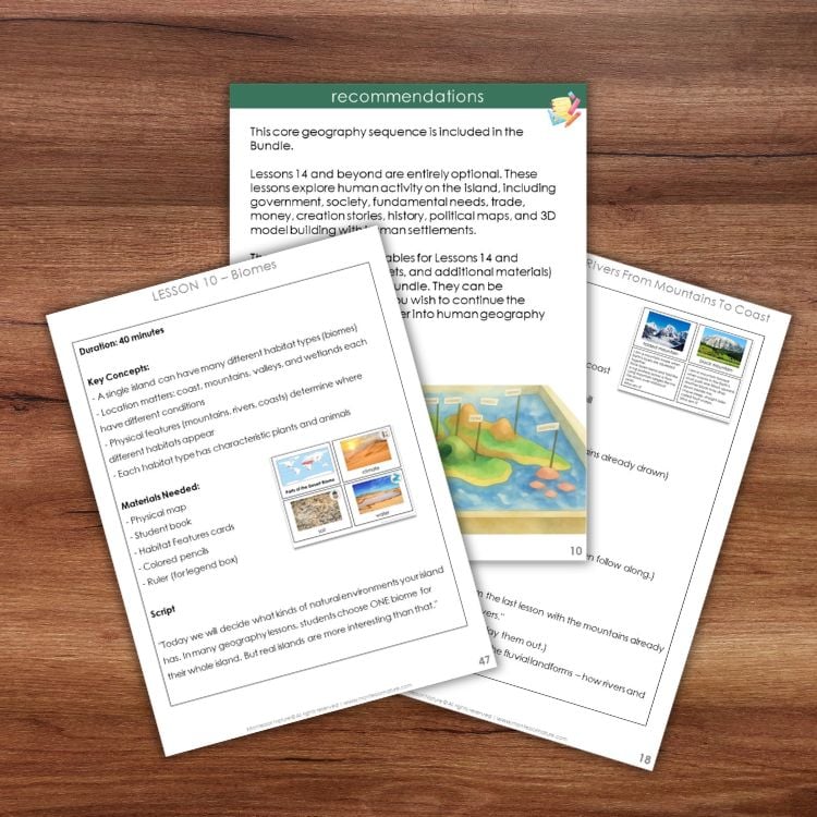
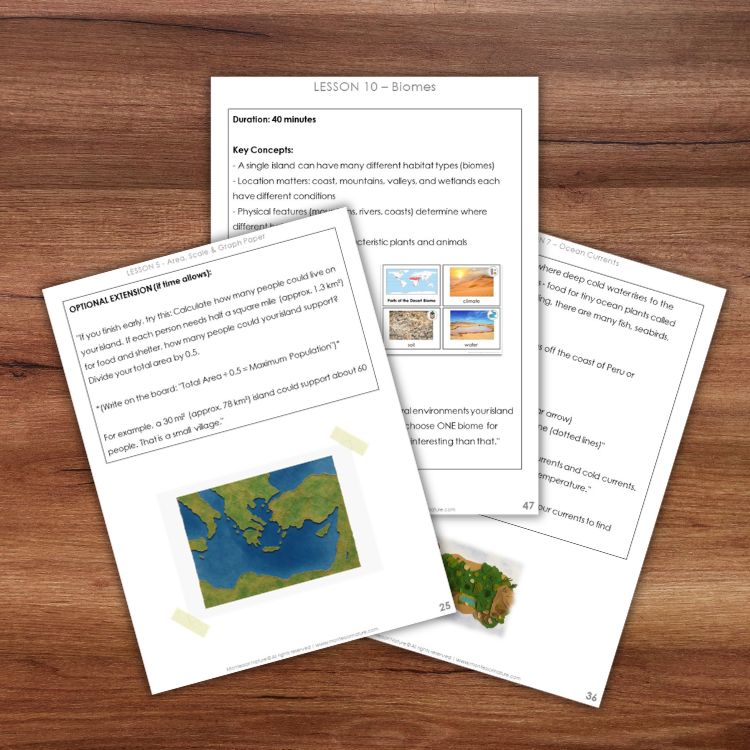
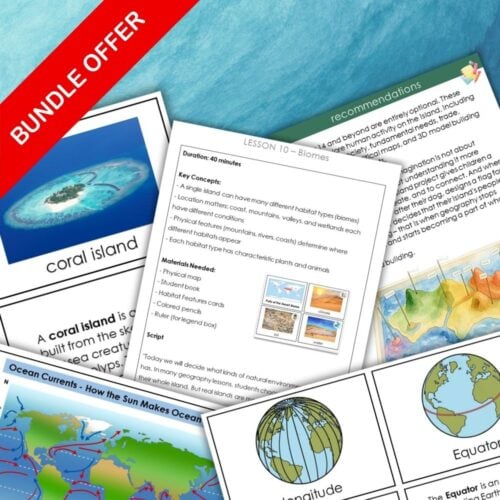
The resource covers coastal and inland features, 3D models (salt dough or building bricks), human needs, money and trade, government, society, history, and human settlement maps.
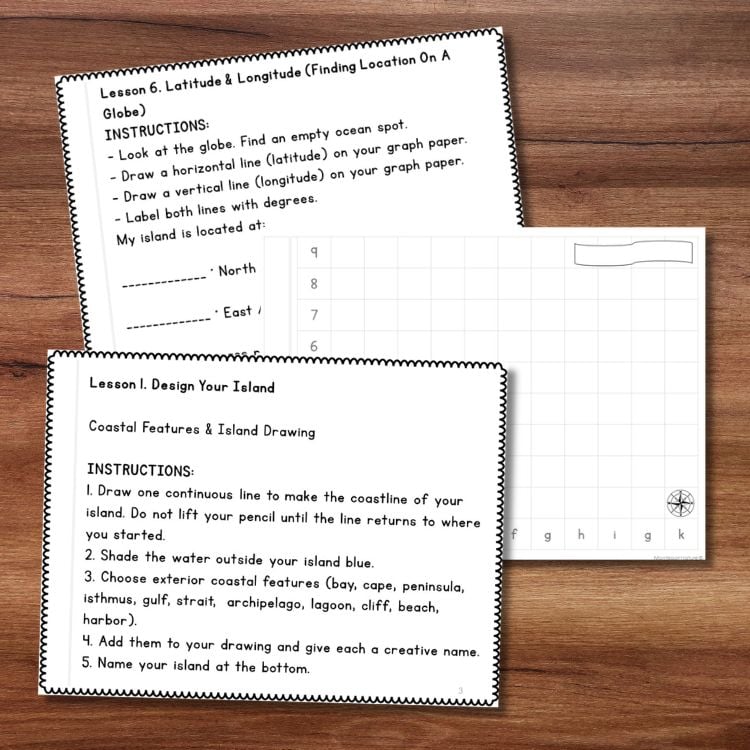
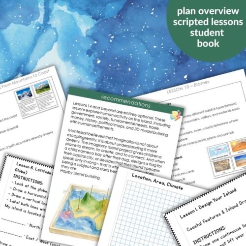
Includes a student workbook (My Imaginary Island Book – UK version included) with tasks, challenges, and graph paper. Suitable for 6–9 and 9–12 – simplify for younger children (drawing, tracing, basic compass points) or extend for older (research, writing, precise coordinates). Use the full 19‑lesson sequence or pick individual lessons.
Perfect For
Summer project – one lesson per day for three weeks
End‑of‑year follow‑up or beginning‑of‑year review
Homeschool families – open‑and‑go scripted lessons
Print and teach – minimum prep time. Open the PDF, print what you need, and follow the scripted step‑by‑step guide. No expensive materials required. Also includes a three‑page plan overview for quick reference.
Why Teachers Love It
Brings together all geographic knowledge in one imaginative project
Scripted lessons – no guesswork
Student workbook included
Works for 6–9 and 9–12
Covers geography plus social studies (money, trade, government, society, history)
Two 3D options – salt dough or building bricks


Erin (verified owner) –
What a wonderful lesson and perfect directions! Easy to give to my summer camp kiddos!