
What You Get
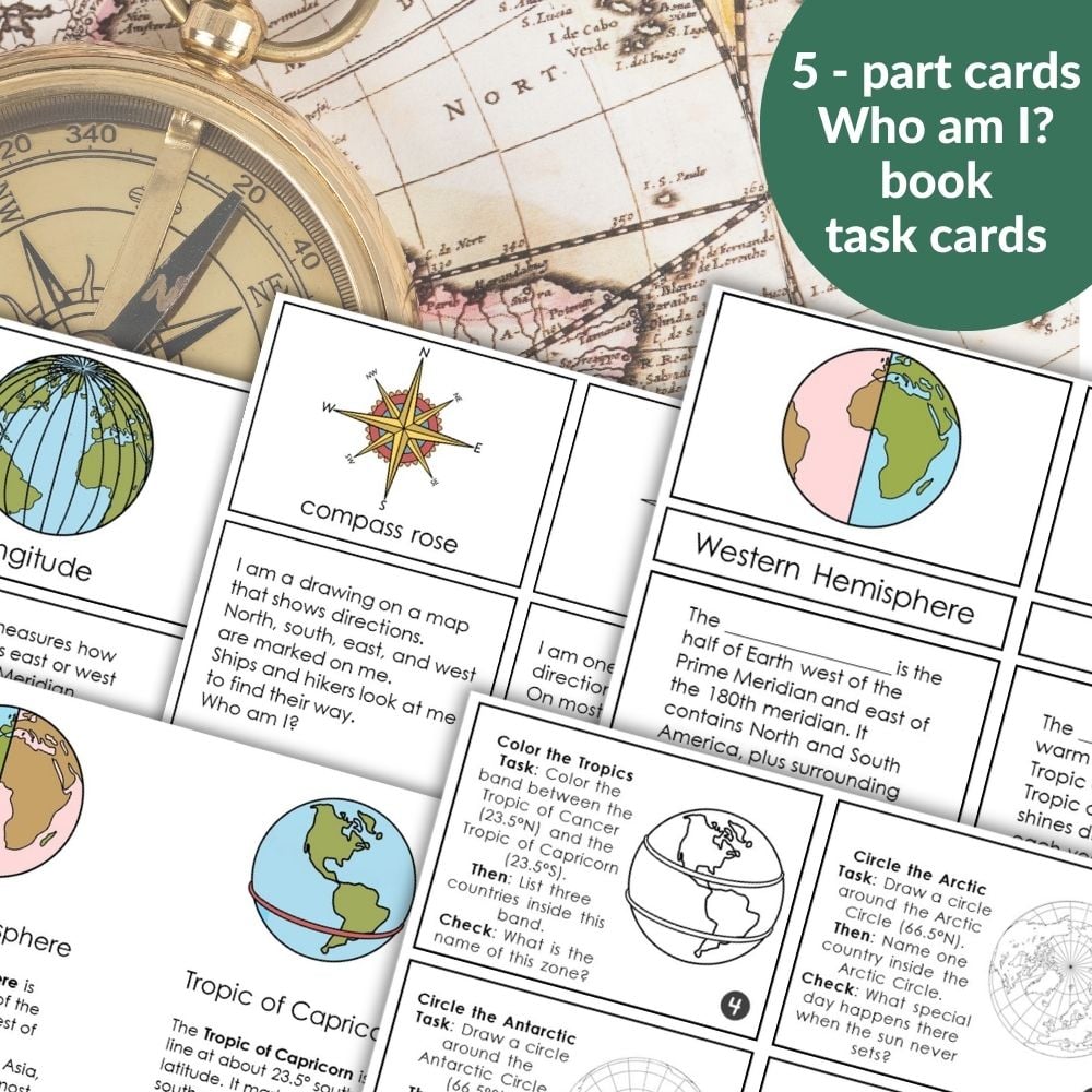
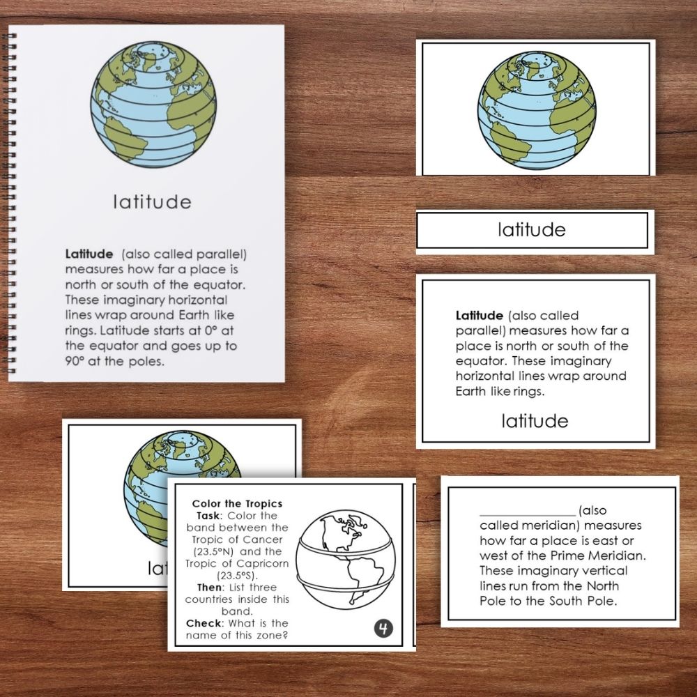
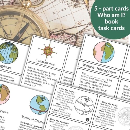
This printable includes several sets – picture and definition cards, cloze (fill‑in‑the‑blank) 3-part cards, “Who Am I?” riddle cards, a book, plus a set of task cards for hands‑on reinforcement.
Geographic Coordinate System (26 terms)
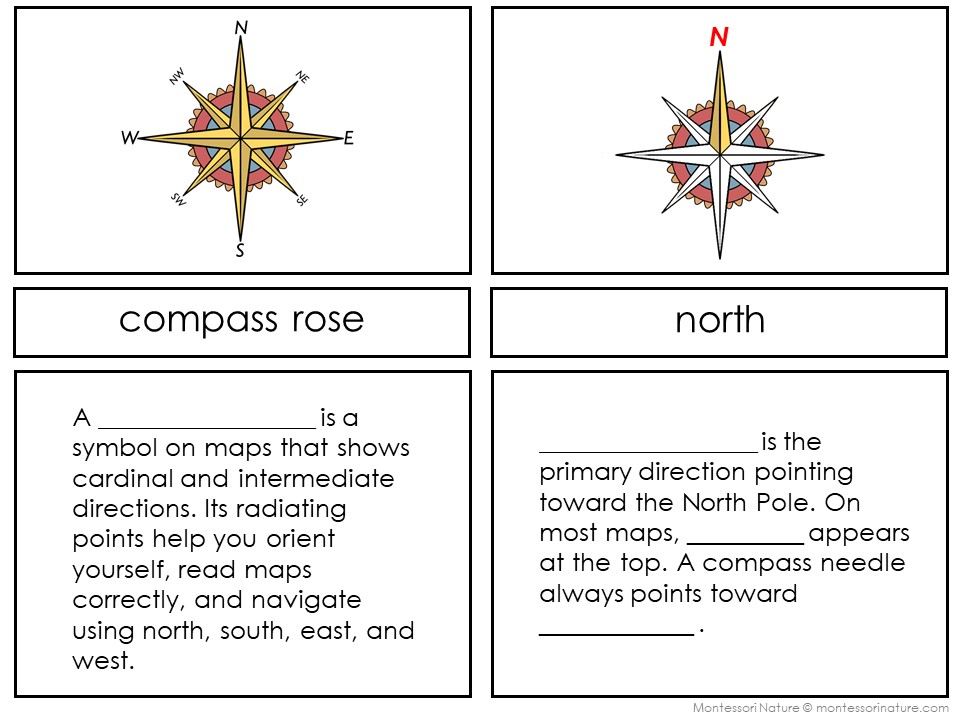
Latitude, Longitude, Equator, Prime Meridian, Southern Hemisphere, Northern Hemisphere, Western Hemisphere, Eastern Hemisphere, North Pole, Arctic Circle, Tropic of Cancer, Tropic of Capricorn, Antarctic Circle, South Pole, Temperate Zones, Tropic Zone, Axis of Earth, Compass Rose, North, South, East, West, Northeast, Southeast, Northwest, Southwest
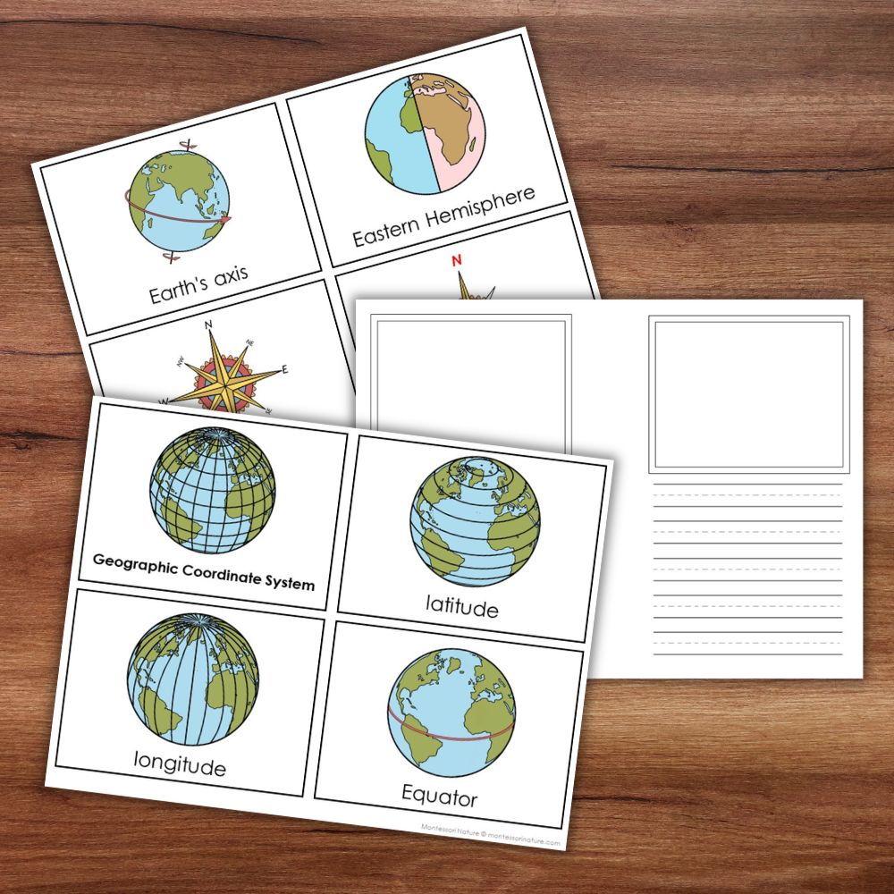
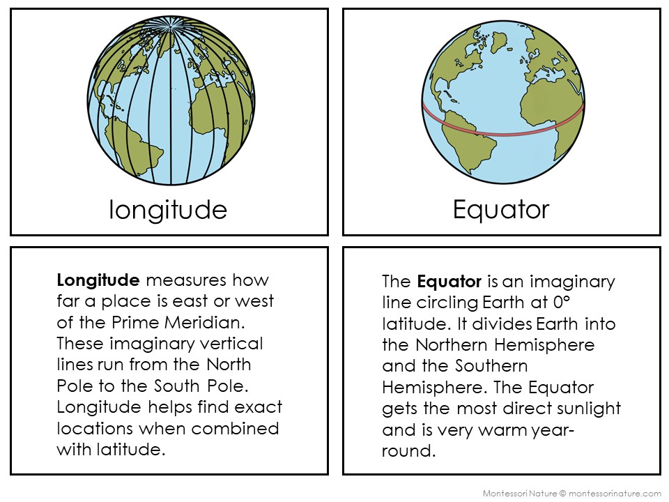
✅ Labeled picture cards – clear, simple illustration
✅ Definition cards
✅ Cloze (fill‑in‑the‑blank) cards – same definition with the term removed
✅ “Who Am I?” riddle cards. Children guess the term from its description – great for games, self‑checking, and review.
✅ Book – easy to assemble: simply print, fold each sheet in half, and staple along the spine. No cutting or complex binding required.
✅ Student booklet template.
Plus:
✅ Geographic Coordinate System Task Cards – 23 engaging, specific tasks that require children to locate, color, and apply their knowledge using a map, atlas, or globe.
✅ Teacher guide – how to use the cards with different ages and with the Imaginary Island project
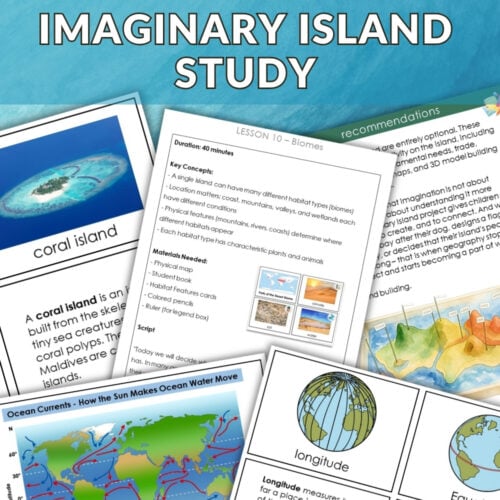
How This Helps Your Imaginary Island Project
When children build their Imaginary Island in salt dough, they need to decide: Where on Earth is my island? Is it near the Equator or close to the poles? Which hemisphere? What climate zone does it belong to?
This resource answers those questions.
Why Teachers Love This Resource
⭐ Complete coverage – 26 coordinate terms + 23 task cards.
⭐ Ready to use – print, cut, and go. No extra prep.
⭐ Works for mixed ages.
⭐ Builds independence – cloze cards let children test themselves.
⭐ Hands‑on practice – task cards require real map, globe, and compass rose work.
⭐ Perfect for the Imaginary Island project – gives meaning to every line on the map.
Best Ways to Use (By Age)
Ages 6–8
Introduce 8–10 terms at a time (Equator, poles, compass directions, hemispheres).
Match picture cards to definition cards aloud.
Use simple task cards (find the Equator, trace the Prime Meridian, color the Tropics on a laminated globe).
During Imaginary Island: Add a compass rose and label the hemisphere.
Ages 9–12
Introduce all 26 terms at once.
Match independently; use cloze cards as a quiz.
Use all 23 task cards with an atlas or globe. Write answers in a study notebook.
During Imaginary Island: Determine the island’s latitude range, climate zone, and create a coordinate grid for locating features.
What Your Students Will Learn
✅ Names and definitions of 26 geographic coordinate terms
✅ How latitude and longitude work together to pinpoint any location on Earth
✅ The difference between hemispheres and poles
✅ How to use a compass rose to describe direction
✅ How to locate real places using coordinates on a map or globe




Reviews
There are no reviews yet