
Key Features:
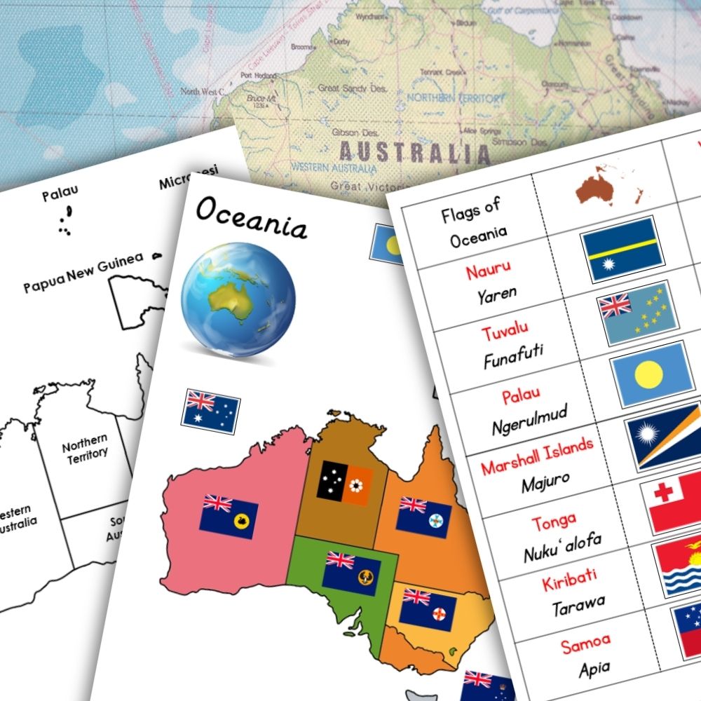
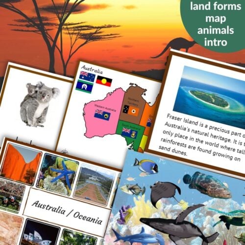
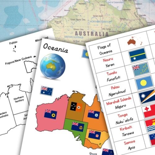
* 6 colorful maps of Oceania and Australia, including labeled and unlabeled options, with and without capital city locations marked
* Outline maps for coloring and creative expression
* Card strips with 21 country flags, labels, and capital cities for hands-on learning
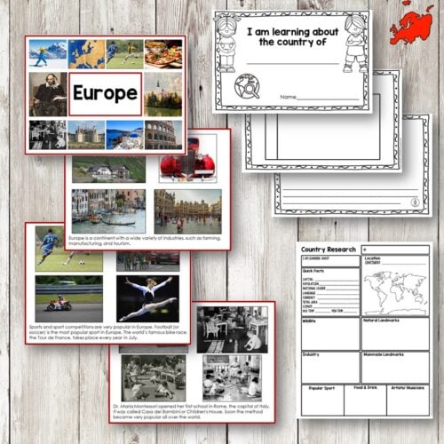
* Covers 14 countries of Oceania and 7 states/territories of Australia
* Ideal for teaching geography, cultural awareness, and map skills
Benefits:
* Develops geography skills through interactive mapping activities
* Fosters cultural understanding by exploring different flags and their meanings
* Encourages critical thinking and problem-solving through coloring, labeling, and mapping exercises
* Suitable for diverse age groups and ability levels
What’s Included:
1. Colored map of Oceania with country borders – labeled
2. Colored map of Oceania with country borders – without labels
3. Colored map of Oceania with country borders and capital city locations marked with a star – without labels
4. Outline of Oceania map for coloring
5. Outline of Oceania with country borders – labeled
6. Outline of Oceania with country borders and flags
7. Outline of Oceania with country borders – without labels
8. Outline of Oceania with country borders and capital city locations marked with a star – without labels
9. Card strips with country labels
10. Card strips with country labels, flags, and capital cities


Anonymous (verified owner) –
Great material and easy to put together!