


What’s Included:
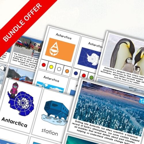
Colorful Maps of Antarctica: Includes a labeled colored map featuring key geographical features and another version that marks locations with stars.
Outline Maps: Two outline maps that students can color, each featuring the essential geographical features.
Label and Outline Options: Choose from outlined maps that are labeled or those left blank for a fun labeling activity where students can identify each feature on their own.
Pin Flags and Feature Cards: Enhance your lessons with card strips that can be used to create pin flags, along with geographical feature label cards for a hands-on learning experience.
Whether you’re preparing a winter-themed unit or looking to provide a comprehensive understanding of this icy continent, this resource not only can help students identify and label regions of Antarctica but also fosters a love for geography and exploration.
Only logged in customers who have purchased this product may leave a review.


Reviews
There are no reviews yet