
What You Get
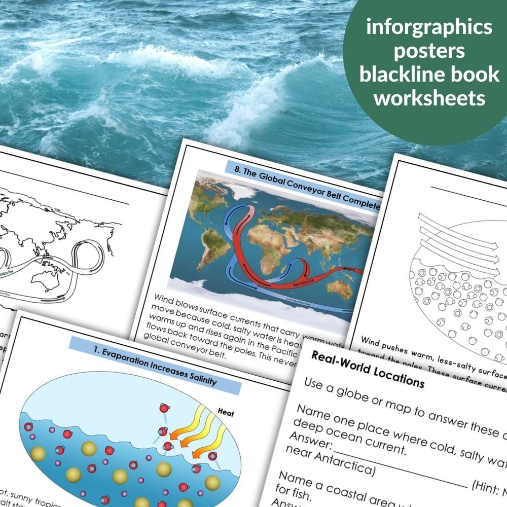
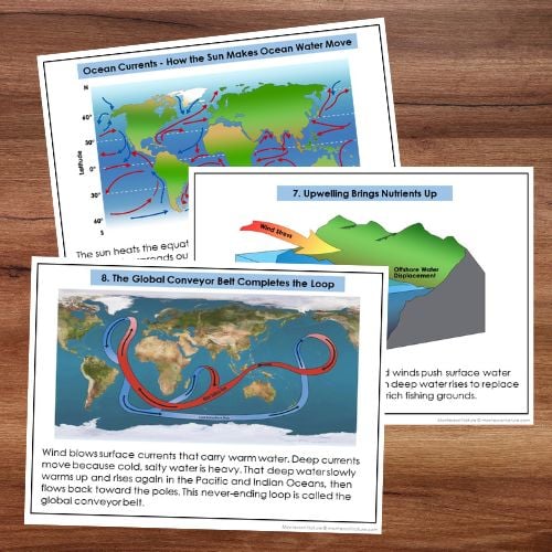
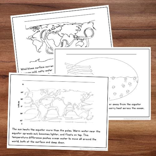
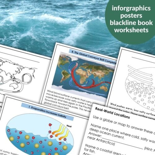
This printable includes 10 infographic posters (each can be used as a full‑page display, ring‑bound book, or cut into smaller cards).
✅ Full‑page color infographic – clear text and scientific diagrams
✅ Black‑and‑white version – student book
Plus:
✅ Teacher guide – how to use with different ages and with the Imaginary Island project
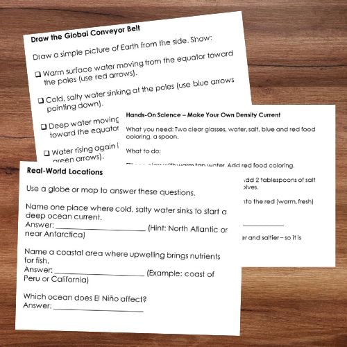
✅ Student research worksheet – with answer key and hands‑on density experiment
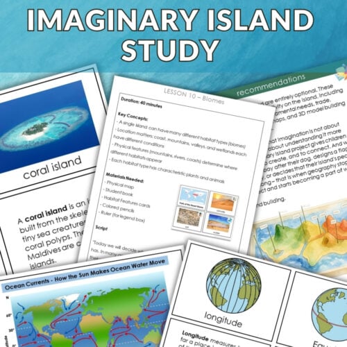
How This Helps Your Imaginary Island Project
When children build their Imaginary Island in salt dough, they need to decide: What ocean currents surround my island? Are they warm or cold? Does upwelling happen nearby?
This resource answers those questions. After studying the posters, a child can:
Place a warm surface current (red arrow) flowing from the equator toward their island.
Add a cold deep current (blue arrow) moving in the opposite direction.
Mark an upwelling zone where nutrient‑rich water rises – perfect for a fishing village.
Explain how El Niño might bring drought or floods to their island.
The posters turn oceanography into purposeful mapmaking decisions.
Why Teachers Love This Resource
⭐ Visually clear – simple diagrams and short paragraphs
⭐ Ready to use – print as posters, books, or cards – no prep
⭐ Works for mixed ages – 6‑year‑olds match pictures; 12‑year‑olds sequence the global conveyor belt
⭐ Hands‑on science – includes a density current experiment and real‑world examples
⭐ Perfect for the Imaginary Island project – brings ocean currents into the creative process
Best Ways to Use (By Age)
Ages 6–9
Introduce 2–3 posters at a time (sun, wind, sinking).
Display full‑page posters at eye level; read aloud together.
Use small cards (4‑per‑page) for matching and pointing games.
Do the simple density experiment: pour cold salty water into warm fresh water – watch it sink.
During Imaginary Island: Ask: “Is your island near the equator (warm water) or near the poles (cold water)? Draw one current arrow.”
Ages 9–12
Introduce all 10 posters at once.
Bind full‑page posters into a reference book for independent study.
Use 4‑per‑page cards for sequencing: arrange the posters in order of the global conveyor belt.
Complete the student research worksheet, including the real‑world locations of upwelling and deep water formation.
During Imaginary Island: Require a written “ocean current report” – warm/cold currents, upwelling zones, and El Niño effects.
What Your Students Will Learn
✅ How the sun creates temperature differences that drive ocean movement
✅ Why evaporation makes water saltier and denser
✅ How wind pushes surface currents
✅ How Earth’s spin curves currents (Coriolis effect)
✅ Why cold, salty water sinks at the poles (brine rejection)
✅ How deep currents flow along the ocean floor toward the equator
✅ What upwelling is and why it creates rich fishing grounds
✅ How the global conveyor belt loops water around the planet
✅ How El Niño changes currents and weather worldwide




Reviews
There are no reviews yet