


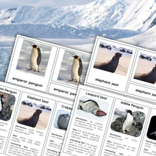
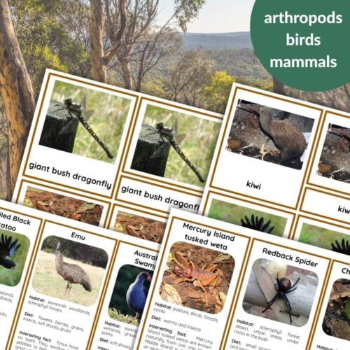
Included Features
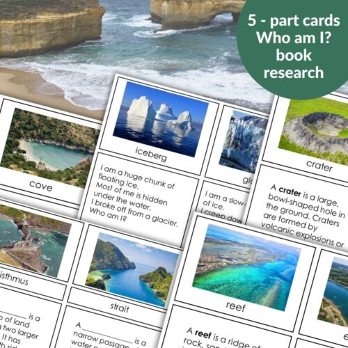
gulf, peninsula, cape, bay, isthmus, strait, archipelago, lagoon, cliff, harbor, fjord, bight, reef, estuary, island, lake, crater, plain, source, swamp, hill, mountain range, oasis, system of lakes, plateau, cave, canyon, valley, mountain, river, waterfall, beach, cove, iceberg, glacier, point, volcano, geyser
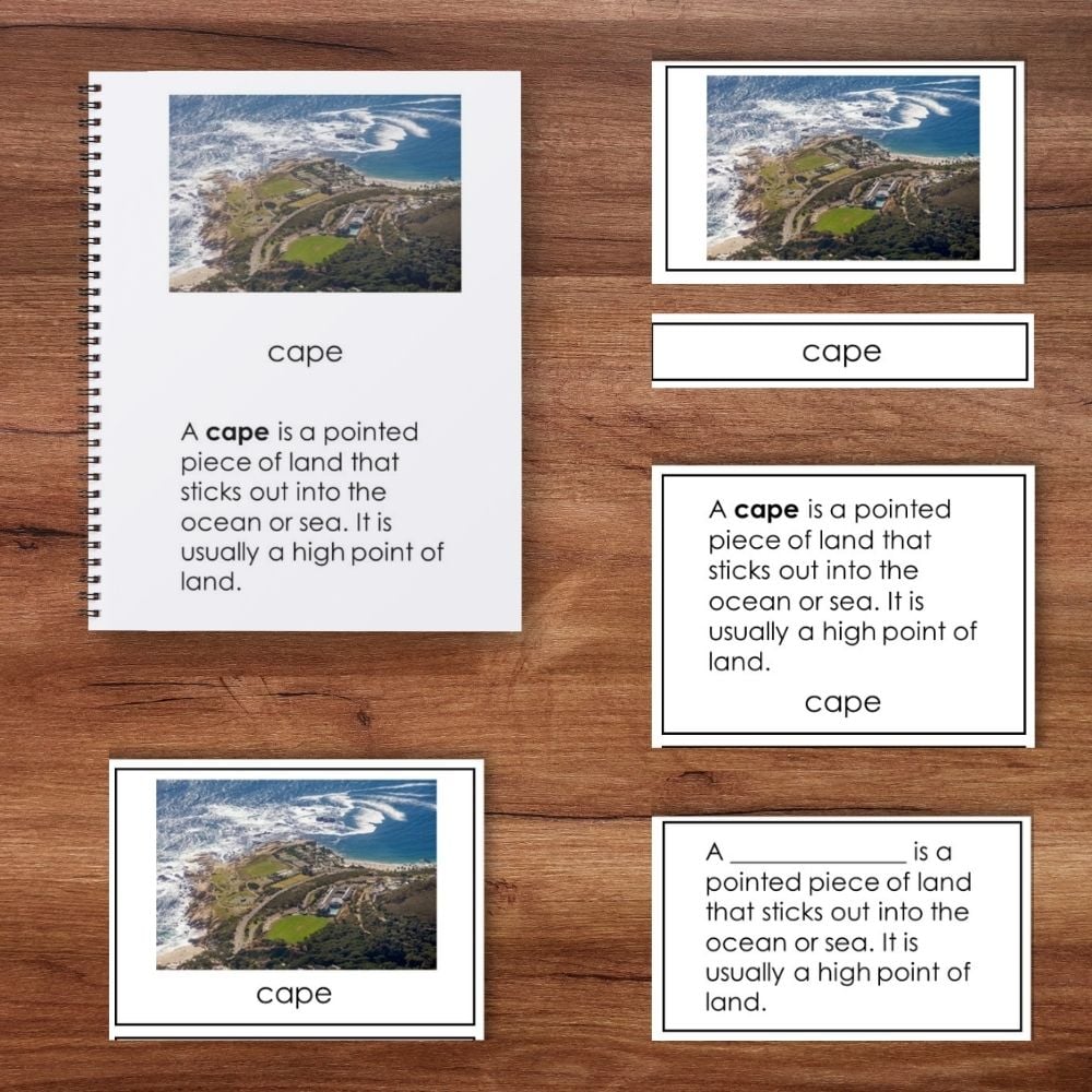
What’s Included (5‑Part Cards for Each Feature)
Picture card
Label card
Control card (picture + label) – for self‑correction
Definition card – short, clear definition
Cloze card – definition with the main term removed (fill‑in‑the‑blank)
Plus:
“Who Am I?” riddle cards – 39 riddles (one per feature) that challenge children to guess the term from its description. Great for games, reviews, and independent self‑checking.
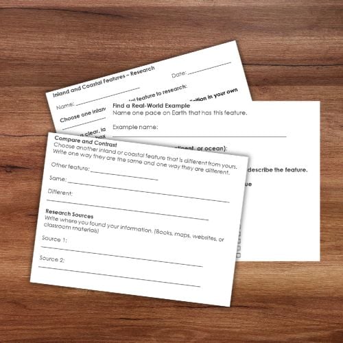
Research worksheet – students choose a feature, draw it, define it, and write questions.
Book – easy to assemble: simply print, fold each sheet in half, and staple along the spine. No cutting or complex binding required. The book contains pictures, terms, and definitions – perfect for independent reference.
Student boolet template
How to Use
Children match picture, label, and definition, then fill in the missing term on the cloze card. They self‑correct using the control cards (picture+label and definition+word).
Use the riddle cards as a guessing game or review.
Students refer to the book while building and labeling their Imaginary Island.
Complete the research worksheet for selected features.
Why Teachers Use This
Complete 5‑part card system for deep vocabulary work
Book prints and folds instantly – no complex binding
Works for mixed‑age classrooms (ages 6–9 and 9–12)
Supports independent work and self‑checking
“Who Am I?” riddles make learning fun and interactive
What Children Gain
A strong vocabulary for talking about land and water forms
The ability to recognize features on a map or in real life
Confidence to label their own Imaginary Island map


Reviews
There are no reviews yet