The resource includes:
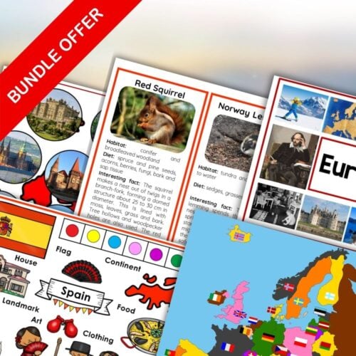
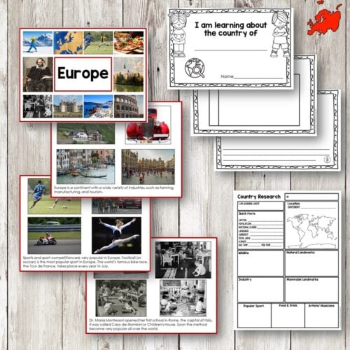
* A colored map of Europe with country borders and labels
* A colored map of Europe with country borders, but without labels
* A colored map of Europe with country flags, but without labels
* An outline map of Europe with country borders and labels
* An outline map of Europe with country borders, but without labels
* An outline map of Europe with country borders and capital city locations marked with stars (no labels)
To help students identify the countries, you’ll also receive 36 small strip cards with country flags, labels, and capital cities. These cards can be used for matching games, flashcards, or as a reference tool.
This resource is perfect for:
* Coloring and labeling exercises
* Flag recognition and identification
* Geography lessons and units on Europe
* World cultures and geography projects
* Geography games and activities
The maps are designed to be easy to print and assemble, making them perfect for classroom use or homeschooling. The small size of the cards makes them easy to store and transport.
You can read my recommendations on how to prepare and present activities using this printable here.


Reviews
There are no reviews yet