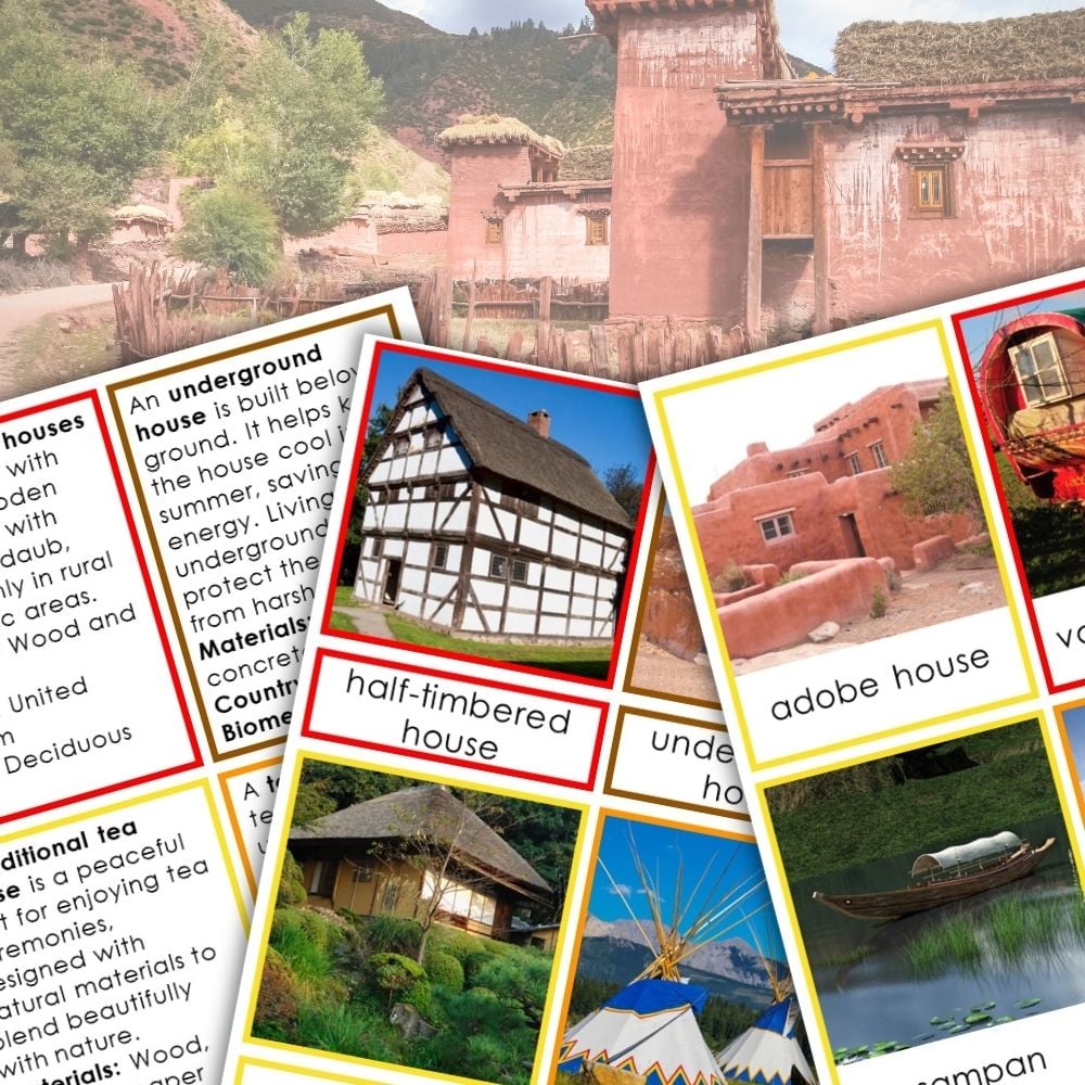


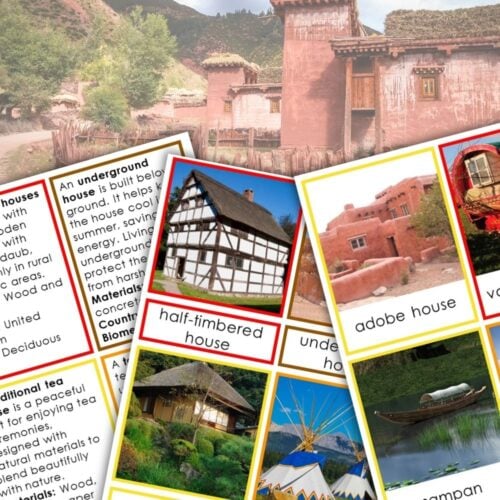
This resource consists of three-part cards featuring different traditional homes from each continent. Each card displays a picture, a label, a control card, an information card that includes details such as materials used, the country of origin, the biome, and an interesting fact, and an information card with blank.
What’s included: The printable comes with a set of color-coded three-part cards, each representing various homes around the world. The color-coding makes it easy for children to sort and identify homes by continent. Regions featured on the information cards are Mongolia, Russia, Papua New Guinea, United Kingdom, Australia, Japan, American Great Plains, Oman, Romania, China, North America, Brazil, Cameroon, Morocco, United States, Indonesia, Tunisia, Italy, Peru and Bolivia.
Objectives: The main objectives of this resource are to enhance comprehension and geography skills, foster cultural awareness, and encourage independent learning through exploration of diverse living environments.
Teaching suggestions: Use these cards in individual or small group activities. Have students match the picture with its label and information card. Encourage discussions about how these homes reflect the different cultures and environments, promoting an understanding of global diversity.
Grades: This product is appropriate for early elementary students in grades K-3, aligning well with social studies and cultural studies curricula.


Reviews
There are no reviews yet