


What’s Included:
* 11 Information and Picture Posters: Learn about the unique architecture and construction methods of each type of house, featuring realistic and historically accurate clipart and photographs.
* Picture Cards: Use the match-up activity to reinforce learning and encourage critical thinking.
* Control Color Map: A valuable tool for teachers and students to locate the regions where each type of house was built.
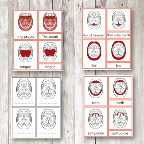
* 3-Part Cards: Perfect for Montessori-style learning, these cards provide a structured approach to understanding the different houses.
* Student Booklet (B&W): A fun and interactive coloring book that allows students to label and color their own version of each house.
* B&W Map: A blank map for students to color and find the locations of the different houses.
* Round Cards (B&W): These cards can be colored and pasted onto the map, providing an engaging way for students to visualize their learning.
**Perfect for:** Teachers, homeschoolers, and parents seeking a comprehensive and engaging way to teach Native American culture and geography to students of various age groups. This resource is ideal for primary-level social studies or cultural education classes.
Benefits:
* Develops critical thinking and problem-solving skills through the match-up activity
* Encourages cultural awareness and appreciation
* Provides a hands-on approach to geography and mapping skills
* Supports Montessori-style learning with 3-part cards
* Fosters creativity and self-expression through coloring and labeling activities


Reviews
There are no reviews yet