World Flags Bundle
This continent bundle focuses on the flags of countries across North America, South America, Africa, Europe, Asia, and Australia/Oceania, and is designed for the Montessori Cultural Area for Kindergarten through Grade 3. The set includes color-coded 3-part cards featuring the flag, a simplified country outline, and a location on the continent map, along with worksheets and blackline masters for coloring. These materials work well for individual shelf work, small group collaboration, or as part of lesson planning and group discussions on different continents and cultures. The activities support flag identification, geography awareness, fine motor skills through coloring, and connections to global cultures, with adjustable options that suit various learning levels.
Pick exactly what you need from this bundle. The bundle discount is calculated automatically in your cart based on the total value of the items you select.
-
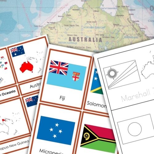
Flags of Oceania: Countries
$4.20 Add to cartThis printable resource focuses on the country flags of Oceania and is designed for use in the Montessori cultural area, suitable for students in Kindergarten through Grade 3. It includes color-coded, 3-part cards featuring the flag country outline, as well as worksheets and blackline masters that incorporate fine motor activities and coloring. This resource includes two sets of cards, featuring the flags of 14 countries and 7 states and territories of Australia.
-

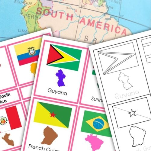
Flags of South America 3 Part Cards Student Book
$4.20 Add to cartThis printable resource focuses on the Country Flags of South America and is designed for the Montessori Cultural Area for Kindergarten to Grade 3. It features color-coded, 3-part cards that include the flag’s country outline, along with worksheets and blackline masters.
-
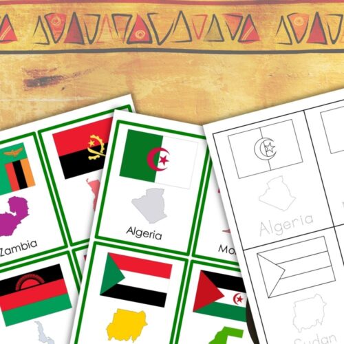
Flags of Africa Countries 3 Part Cards Student Book
$8.00 Add to cartThis printable features the Country Flags of Africa, designed for use in the Montessori Cultural Area for students in Kindergarten through Grade 3. It includes color-coded 3 part cards showcasing flag outlines of African countries, along with worksheets and blackline masters for fine motor activities like coloring.students to the fascinating continent of Africa with this comprehensive three-part card set and student booklet! This printable features 54 countries and 4 territories, making it a valuable resource for teaching African geography.
-
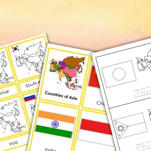
Asia Flags Map Countries 3 Part Cards Student Book
$7.50 Add to cartAsia Flags Montessori 3-Part Cards & Coloring Worksheets (51 Countries)
Enhance your students’ geography skills and cultural awareness with this comprehensive printable resource featuring 51 flags of Asian countries! This Montessori-inspired activity includes three-part cards with flags, country maps, and flags, as well as coloring worksheets to promote creativity and fine motor skills. -
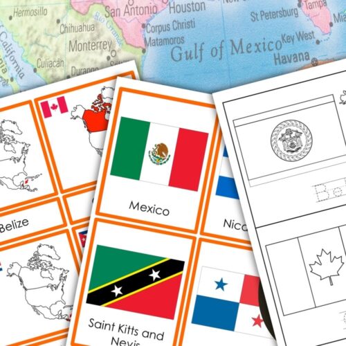
Flags of North America 3-Part Cards
$4.70 Add to cartIntroduce your students to the diverse cultures and communities of North America with these comprehensive 3-part cards! This printable set includes two sets of cards to help your students learn about the different countries, flags, and maps of North America.
-
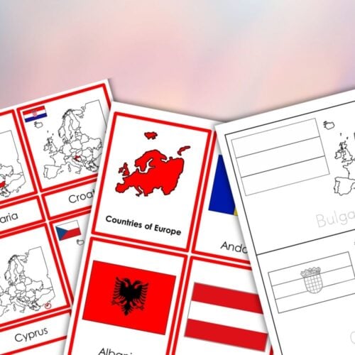
Flags of Europe 3-Part Cards Student Book
$6.00 Add to cartIntroduce your students to the flags of European countries with this comprehensive Montessori printable set. This product includes two sets of three-part cards, perfect for developing fine motor skills, handwriting, and geography knowledge.